Hi guys, here’s the product solution about drone and lidar wanna share with you.
It’s amazing effect that I use the VTOL fixed-wing drone carry the Lidar to applicate on the transmission line inspection. Single inspection is 120km, and the production point cloud density more than 150 points/m².The video can show more details,please click the link.
https://www.youtube.com/watch?v=IK7dMK1UZL0&feature=youtu.be

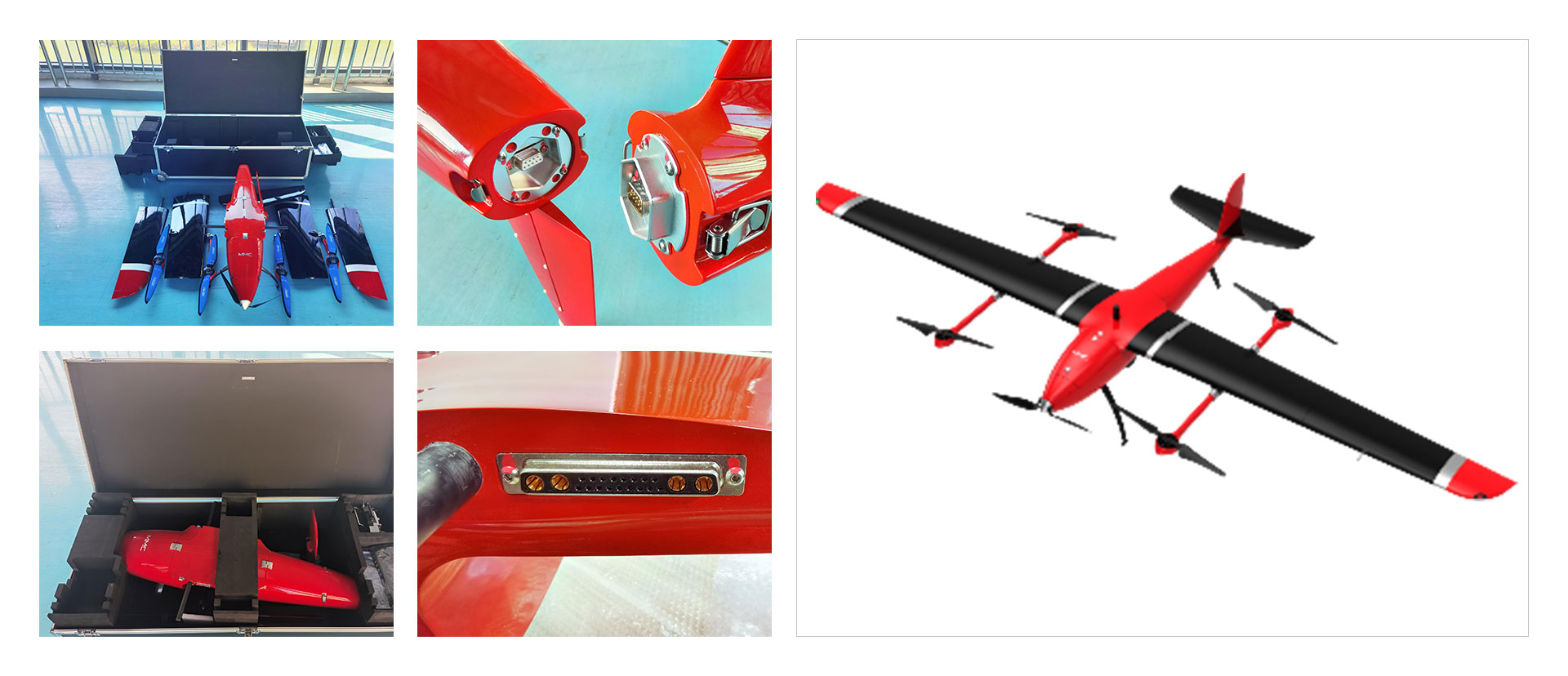
VTOL fixed-wing drone fuction:
Size: 3378mm 1520mm 515mm
Standard take-off weight: 15.5kg
Maximum payload weight: 3kg
Endurance: 140~190mins
Cruising speed: 75km/h
Maximum flight speed: 30m/s
Wind resistance: level 6
Protection class: IP54
Ascent speed: 4m/s
Maximum range: 265km
Maximum altitude ceiling: 4000m
Working temperature: -20~60℃
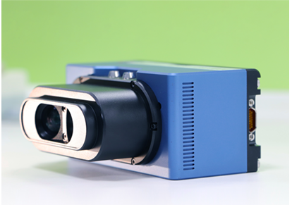
Lidar fuction:
System weight:1.57kg(include camera)
Laser sampling frequency:640kHz
Maximum ranging:250m
Measuring frame rate:5-20Hz
System elevation measurement accuracy:< 0.1m
Echo mode:Dual echo
Point cloud density(flight altitude 60m):> 200 point / square meter
Ranging accuracy:2cm
Laser echo gray level:8 bits
IMU Update frequency:200Hz
Location mode:GPS L1/L2、GLONASS L1/L2 Beidou satelliteB1/B2
Position accuracy(post-process):0.02m(plan)0.05m(elevation)
Pixel:62524168(single lens)/120003800(Wide-angle image)
Digital camera field of view:88°37°/82.8°31°(Wide-angle image)
Minimum photo interval:1.0s
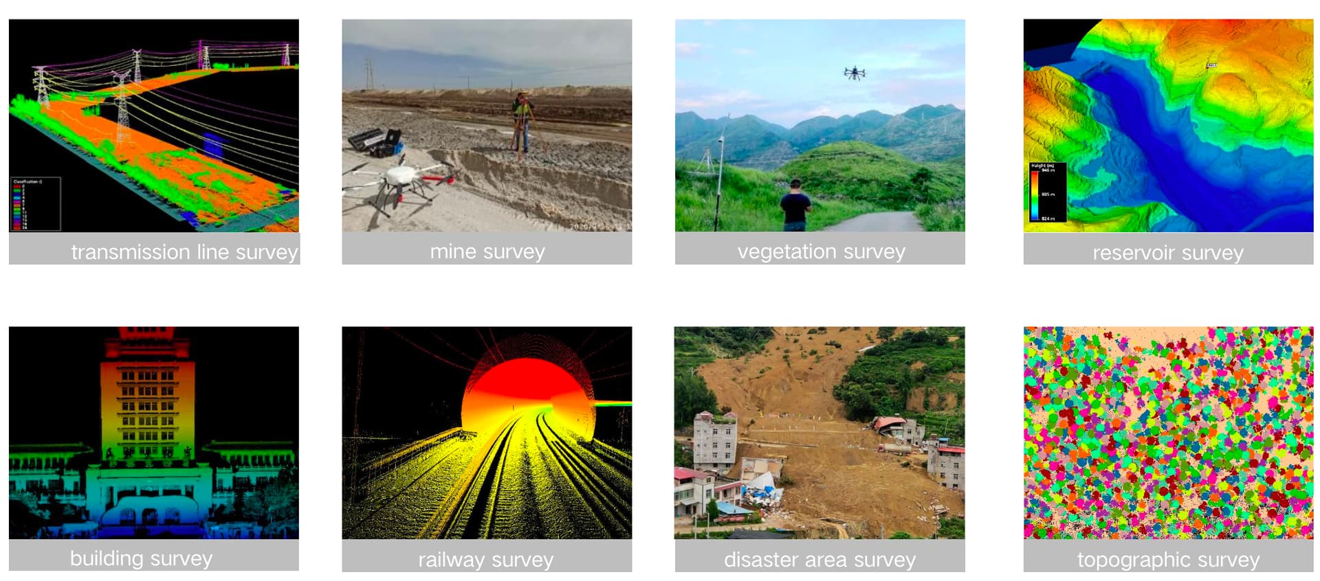
This product solution can also applicate in more scenes, such as mine survey,vegetation measurement,topographic mapping and so on.
If you wanna know more about my product solution,please let me know,thanks!