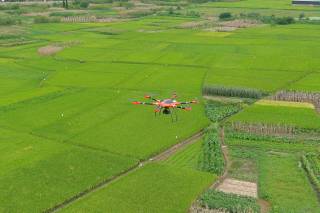
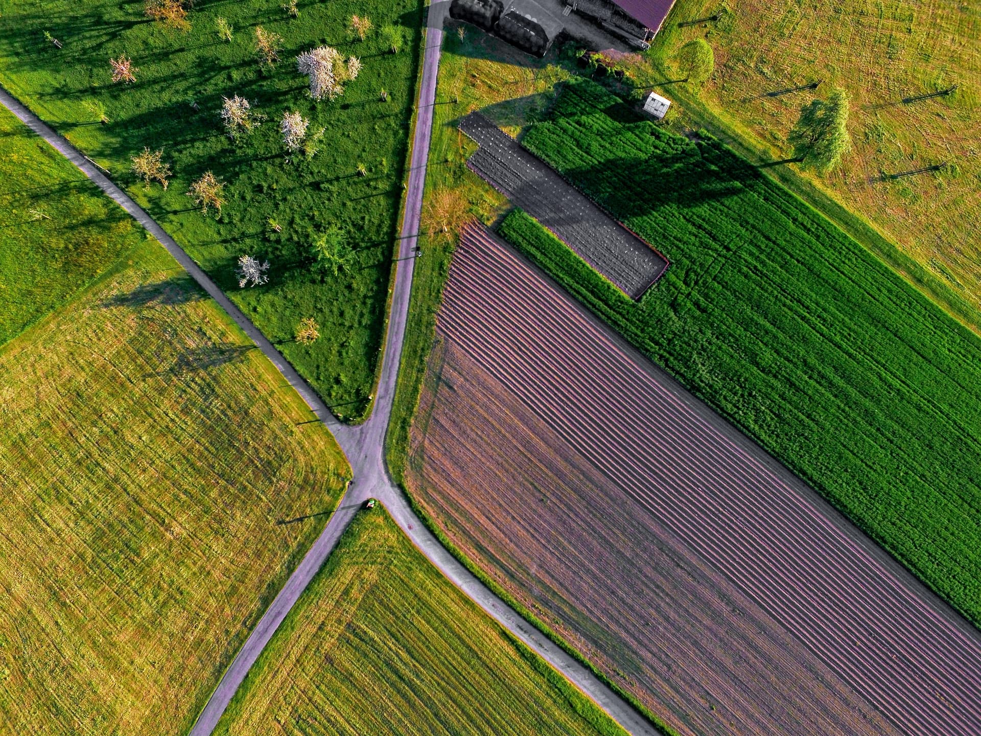
By acquiring high-definition visible light or multispectral images of farmland, and then through map building modeling, big data analysis, AI recognition and other processing, UAV can realize farmland digitization (such as obtaining high-definition map, elevation information, crop distribution, etc.) and precision planting management (such as intelligent monitoring, precision variable operation, etc.).
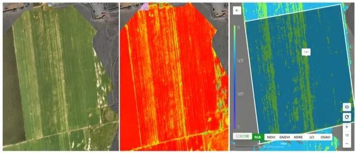
Do you have any recommended multispectral mount or NDVI modeling software?