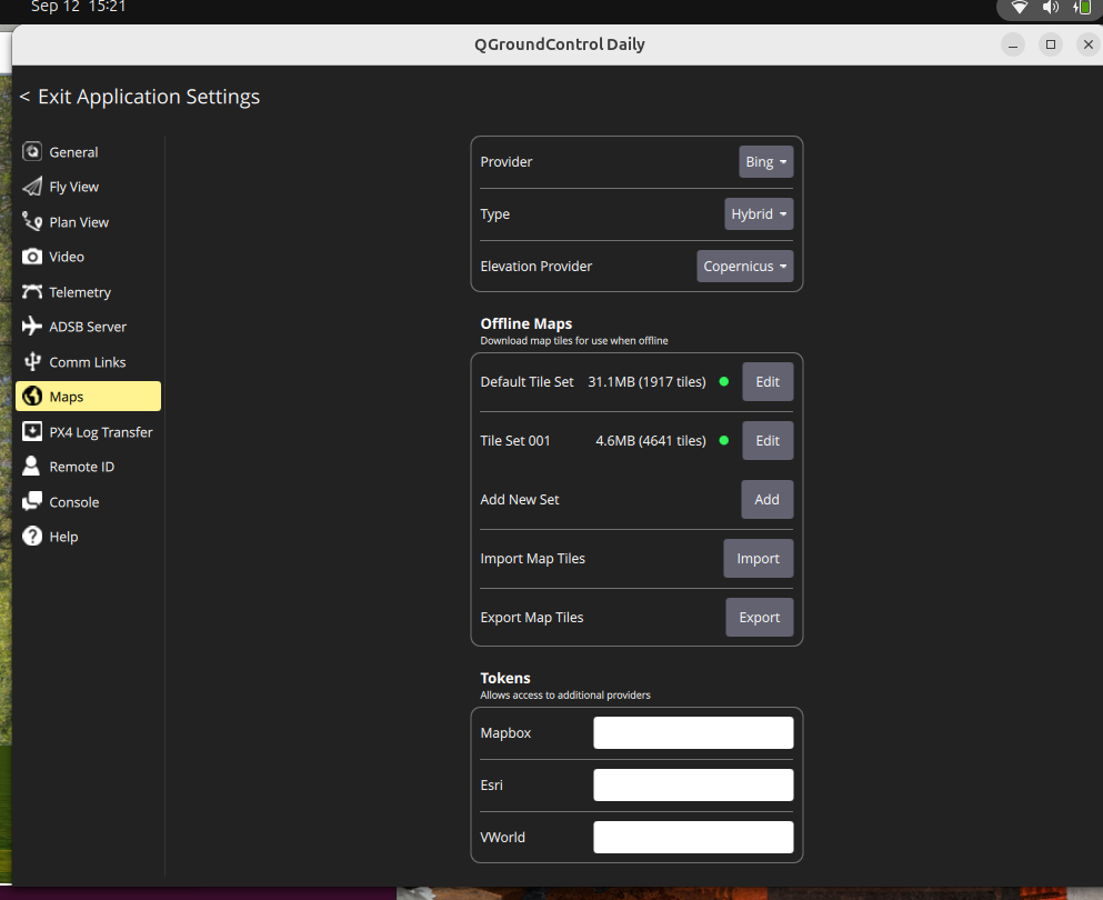
I have the same issue, I have a nautical chart with me and I want it to display into the screen like Google or even Bing at the default map provider.
I know that what you create in the tile set, is not the map or the “map provider” itself, it’s just a frame from the provider map being saved and cached for guidance in a safely autonomous environment.
I think that what you want is to change the provider, not the tile set, like me, is that correct? If it’s a yes, I need to solve this either, and I still looking for answers too.
For now, the solution for me (and for others) is to use QGC for navigation, and other tools to view nautical charts or maps. Personally, I use OpenCPN to display a raster nautical chart, and I can open a connection via NMEA 0183 or even TCP/UDP on a given port to get the exact real-time information from my boat.
You can also use QGIS with the PosiView plugin. I haven’t tried that method myself, but I know it works well.
If you want something simpler, you can go with OpenCPN, and I’d be happy to help you set it up if you need.
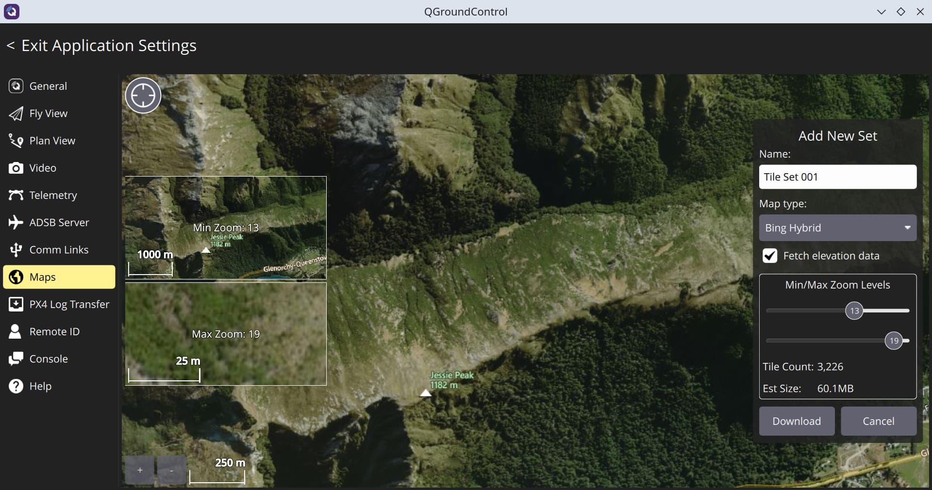
In Application Settings - Maps –> I go to “Add New Set” @isaac.graper In your case I would try the “Import function” (Providing you have the means of creating nautical map tiles with the software you are using)
A new Window will open. There move the world map around (click and drag) until you get to the desired location. Using the mouse wheel or the + / - button on bottom left zoom in as required.
Select the require map type, the zoom level on the right and the tile count. When you’ are happy with that select “Download”