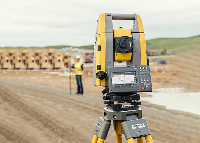
Im keen to get software developed to have a drone talk to a ‘robotic total station’ (see attached a pic) which is used by land surveyors to accurately location a spot.
A location can be defined in a X,Y & Z axis, in this case I only care about X&Y which is much easier for the point of this software development. A drone using a simple laser pointer always vertical, will project a point directly below the drone. The accuracy needs to be +/- 2mm.
Using satellite is not accurate enough.
Having a fixed (known) location on the ground as a reference such as a total station will provide this accuracy. Perhaps there is another way to do this I am unaware of not using a total station.
A robotic total station will follow a prism (which I am suggesting would be fixed to the drone). See this youtube link of what I mean:

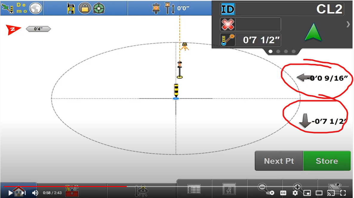
As the video progresses, at around 30secs into the video you will see a screen which is getting information from the fixed point of where the prism (drone) needs to be. This data I am looking to convert into code that a drone can use to locate the position. See also attached a pic of the screen where I have circled the directional data.
This data is all sent wirelessly, so I am hoping the same wireless hardware can be used for the drone…???
There is a market for this in the construction world. Im happy to fund this if I can get someone interested in the project. I will also need to get a total station manufacturer on board of which there are many - first I want to see if the drone side is possible.
Keen??
Email me at andrew@atomic6.com.au